Mt. Lemmon--Butterfly Trail
Mt. Lemmon--Butterfly Trail
Mount Lemmon, Arizona 85619
Official WebsiteMount Lemmon Attraction Guide
Things to Do on Mount Lemmon
About this Location
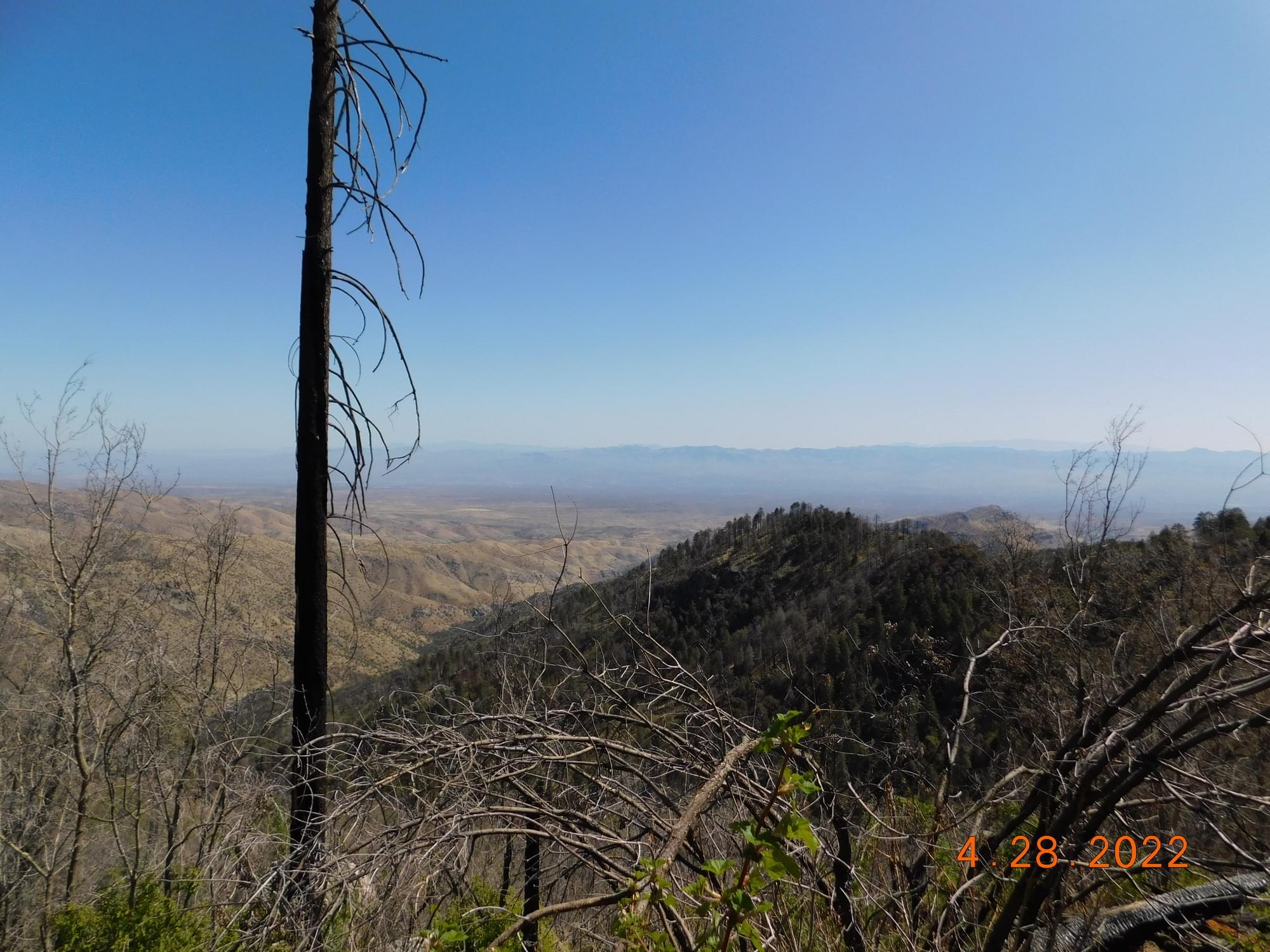
Mount Lemmon is home to many stunning trails, and the Butterfly Trail is one of the most popular options. On the lesser-seen North-facing side of the mountain, the trail winds through various trees, plants, views of Mt. Bigelow, and of course butterflies! This trail is shaded for the majority of the time, so any time during the day is alright, though the middle of the afternoon will be the hottest. Late Spring through Fall will have the best weather and display of biodiversity.
About Mt. Lemmon
See all hotspots at Mt. Lemmon
Approximately an hour's drive from Tucson's city center, Mount Lemmon is a favorite day trip and camping spot for Tucsonans. It's a beautiful outdoor escape, ideal for hiking, biking, rock climbing, picnicking, sunset watching, sledding, and skiing.
Mount Lemmon is usually 20-30 degrees cooler than Tucson, so you can find cooler temperatures there in the summer and a beautiful layer of snow in the winter, along with vibrantly colored leaves in autumn.
With a summit of 9,159 feet, Mount Lemmon is the highest point in the Santa Catalina Mountains. The mountain was named for botanist Sara Plummer Lemmon, who trekked to the top of the mountain by horse and foot in 1881.
Mount Lemmon is a peak in the Catalina mountain range, surrounded by Coronado National Forest.
To reach Mount Lemmon from Tucson, turn off Tanque Verde Road onto Catalina Highway. Take Catalina Highway as far up the mountain as you desire to go!
On your way up the mountain, you may want to stop at Windy Point Vista (Mile Marker 14). This popular lookout point has bathrooms and is a terrific spot for photos.
Note that the road up the mountain is curvy with very few straight sections. If you or anyone in your car is prone to motion sickness, plan ahead by bringing bags, mints, cold water, snacks, or stomach-settling medications. It also helps to not drive on an empty stomach.
Take Catalina Highway northeast from Tanque Verde Road. For desert and mountain species, stop at picnic and campgrounds (Molina Basin, Bear Canyon, Rose Canyon Lake, and others) as you drive the narrow, winding road to high elevations.
Notable Trails
Butterfly Trail
Length: 5.7 miles one way, about 11.5 miles out and back
Trail Type: Out and back
Elevation Gain/Loss: +1,920 ft if going from Soldier Camp to Palisade, 1,280 ft if traveling the opposite direction
Difficulty: Moderate
Kid Friendly: Yes!
Dog-Friendly: Yes!
Accessibility: Car needed to park at the trailhead. If want to hike all the way through, many people have recommended arranging to go up with two cars and parking one at each trailhead.
Fee/Permit: Free!
The AllTrails website has a description and map of a hike using the Butterfly Trail.
Content from Official Website, Mount Lemmon Attraction Guide, and Tucson Audubon Society