Cape Cod National Seashore--Hatches Harbor Fire Road
Cape Cod National Seashore--Hatches Harbor Fire Road
Province Lands Road Provincetown, MA 02657
Cape Cod National Seashore websiteCape Cod National Seashore map
Guidelines for viewing nesting shorebirds at Cape Cod National Seashore
Cape Cod National Seashore Trails webpage
About this Location
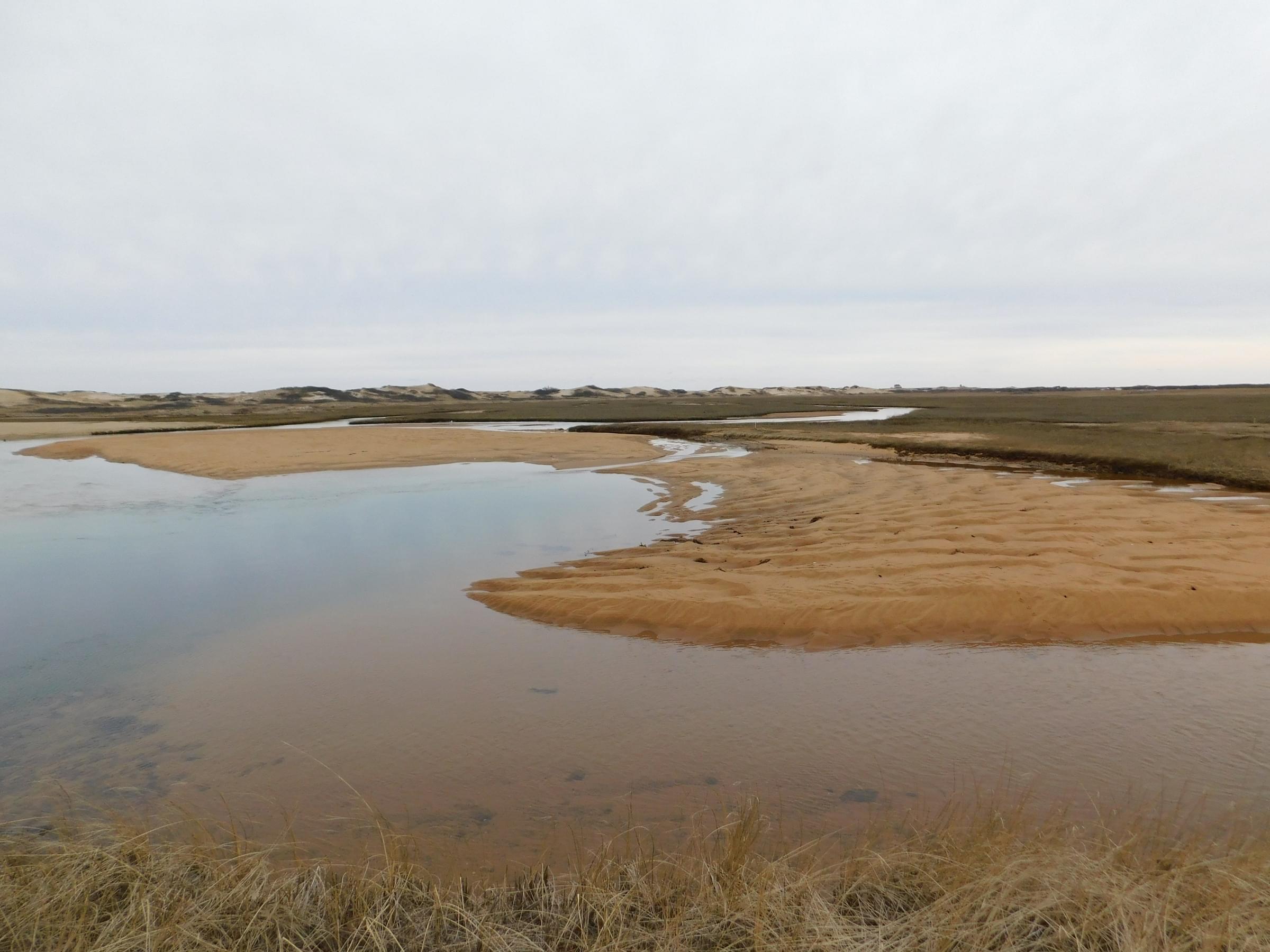
This trail is often used to access Race Point and Race Point Beach. While not as popular as Race Point Beach, the salt marshes, sandy habitat, and proximity to the beach still make this trail a good hotspot to see a variety of bird species. Tidal conditions have a strong impact on accessibility of this trail. If you are attempting to stay completely dry it is best to plan your walk around only being here at low tide. Otherwise, be prepared to potentially have to get your feet wet and or bring some waterproof shoes/boots.
About Cape Cod National Seashore
See all hotspots at Cape Cod National Seashore
Cape Cod is a large peninsula extending 60 miles into the Atlantic Ocean from the coast of Massachusetts. Located on the outer portion of the Cape, Cape Cod National Seashore’s 44,600 acres encompass a rich mosaic of marine, estuarine, freshwater, and terrestrial ecosystems. These systems and their associated habitats reflect the Cape’s glacial origin, dynamic natural processes, and at least 9,000 years of human activity. Geomorphic shoreline change, groundwater fluctuations, tidal dynamics including rising sea level, and atmospheric deposition are among the many physical processes that continue to shape the Seashore’s ecosystems. Marine and estuarine systems include beaches, sand spits, tidal flats, salt marshes, and soft-bottom benthos. Freshwater ecosystems include kettle ponds, vernal pools, sphagnum bogs, and swamps. Terrestrial systems include pitch pine and scrub oak forests, heathlands, dunes, and sandplain grasslands. Many of these habitats are globally uncommon and the species that occupy them are correspondingly rare.
Notable Trails
The AllTrails website has a description and map of a hike at Hatches Harbor.
Features
Entrance fee
Restrooms on site
Wheelchair accessible trail
Content from Cape Cod National Seashore website and Noah Henkenius
Last updated March 5, 2024