
Ashuwillticook Rail Trail
About this Location
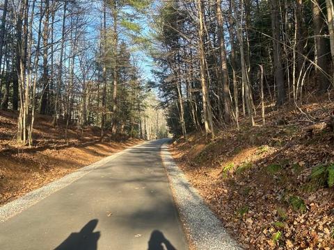
The Ashuwillticook Rail Trail is an old railroad track converted into a 10-foot wide paved trail. The trail runs 12.7 miles through the towns of Cheshire, Lanesborough, and Adams. Cheshire Reservoir and the Hoosic River offer outstanding views of the scenery and wildlife. Parking lots and restrooms are available at selected locations along the way.
Content from Official Website
