Marblehead Rail Trail
About this Location
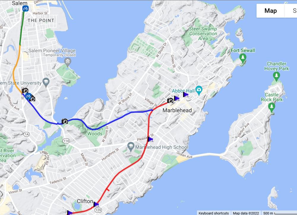
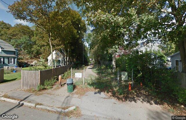
The Marblehead Rail-Trail appears on maps as a Y resting on its side, connecting Marblehead and Salem in the north and the city limits of Swampscott in the west. The 4-mile trail knits together a coastal area that’s steeped in Colonial history, from The Spirit of ’76 painting hanging in a Marblehead museum to the infamous Salem witch trials of the 1690s. The trail is also part of the East Coast Greenway, a developing 3,000-mile trail system stretching from Maine to Florida.
The rail trail follows a short spur of the historical Eastern Railroad, which launched service from Boston to Salem in 1838 and eventually served the coastline from Boston to Portland, Maine. The Marblehead spur opened in 1839 to connect that fishing village to Salem on the main line, followed by another branch linking Marblehead to the Swampscott depot. The rival Boston & Maine Railroad bought the Eastern Railroad in 1890 and operated the Marblehead branch until 1959. In the 1970s the Massachusetts Bay Transportation Authority (MBTA) acquired the mainline, where it runs commuter trains.
Content from Official Website