Bartlett Pond, Northborough
About this Location
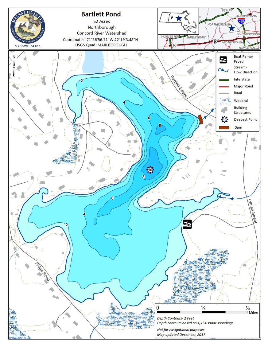
Bartlett Pond is a 52-acre impoundment of Stirrup Brook located off of Lyman Street in Northborough. Bartlett Pond has an average depth of 4 feet, a maximum depth of 10 feet, and its waters are typically transparent to only a few feet. The pond bottom is predominately mud and aquatic vegetation is abundant, particularly in late summer. Houses sporadically line the shores except for the southeast shore which lies within Watson Park and is free from development. Bartlett Pond is a popular weekend destination for paddlers.
The town of Northborough manages a concrete ramp and parking area off Lyman Street within Watson Park. The shoreline is accessible in areas adjacent to the ramp and via a footpath that leads through the park along the southeast shore.
Features
Roadside viewing
Restrooms on site
Wheelchair accessible trail
Entrance fee
Content from Bartlett Pond information sheet and map
Last updated December 7, 2023