Bourn Pond - Sunderland (48 acres)
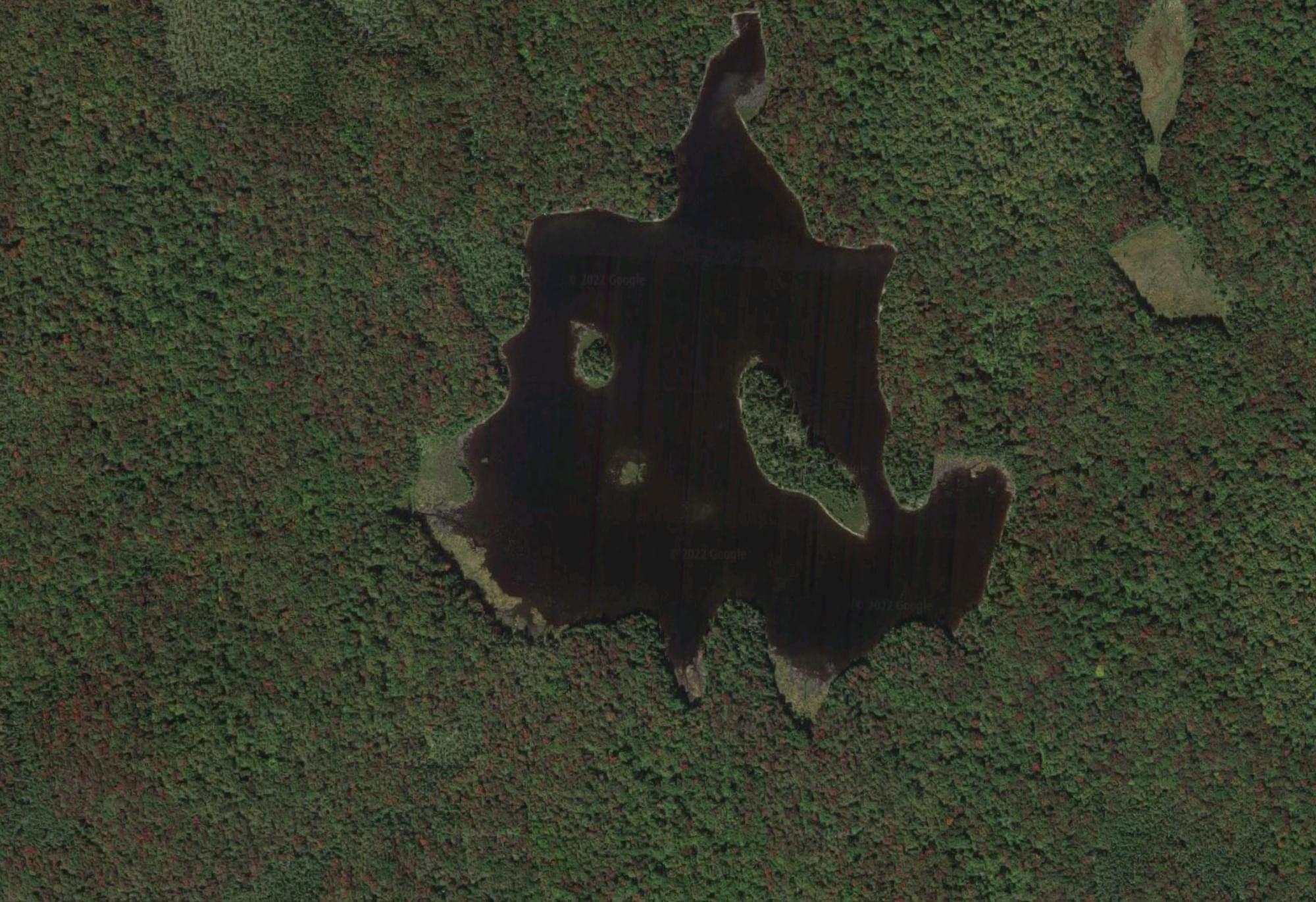
Bourn Pond - Sunderland (48 acres)
Green Mountain National Forest Sunderland, Vermont
Bourn Pond Trail websiteBourn Pond Trail guide and map
About this Location
Bourn Pond is in the Green Mountain National Forest. The trailhead for the Bourn Pond Trail is on Forest Road 70 near Branch Pond.
Bourn Pond (48 acres) is a site for the Vermont LoonWatch annual survey. Birders are encouraged to volunteer as often and whenever they are able. See Join LoonWatch for details.
Notable Trails
About Bourn Pond Trail
The Bourn Pond Trail, 5.2 miles round trip, skirts the western edge of Branch Pond and then enters the Lye Brook Wilderness. The trail travels along an old railroad grade and reaches the south end of Borun Pond. Sections of this trail can be very muddy and may not be suitable for hiking during wet weather. Please practice Leave No Trace ethics, such as carry out what you carry in. Trailblazing, maintenance, and signage will be minimal in Wilderness Areas.
The Bourn Pond Trail can only be accessed through the Branch Pond Connector Trail. Take the Branch Pond Connector Trail east from the Trailhead on Forest Road 70. The Trail meets Branch Pond Trail at about 0.4 miles. Head north (left) at the junction.
From Route 7 in Arlington, take the Arlington exit and turn west on Route 313 at the end of the exit ramp. Take the first right onto South Road and follow to the end. Turn right onto Kansas Road and follow over Route 7 and over a two-lane bridge. After the bridge, turn right and travel east on the Kelley Stand Road for about 4 miles. Turn left onto Forest Road 70. Trailhead parking is at the end of Forest Road 70.
Features
Restrooms on site
Wheelchair accessible trail
Entrance fee
Content from Bourn Pond Trail webpage
Last updated October 5, 2023
