Jamaica State Park
About this Location
Jamaica State Park, now comprising 772 acres, was completed and opened to the public in 1969.
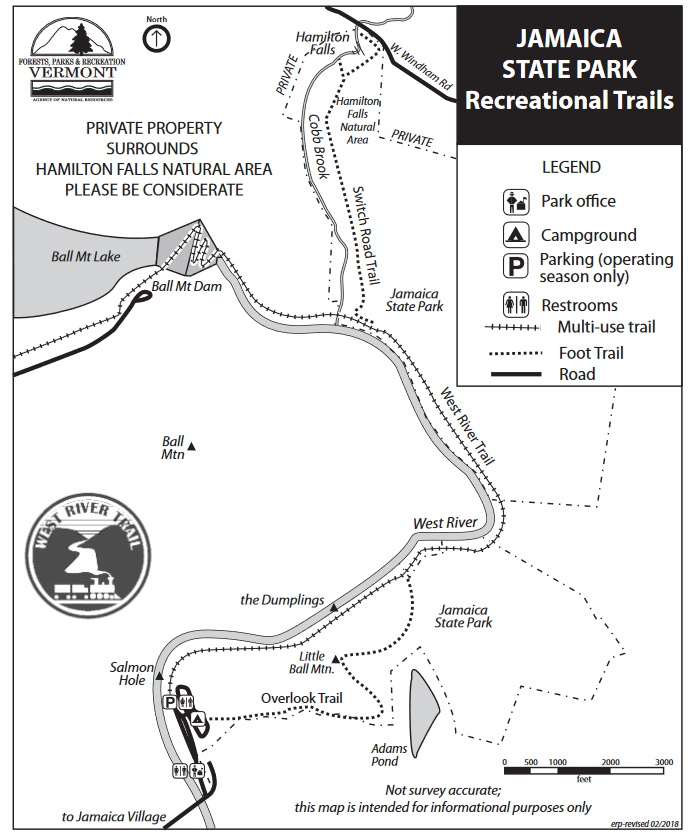
Previously, the area had supported a few small farms and a sawmill. The West River Railroad ran through what is now the state park. The old railroad bed is now used as the trail that leads along the West River to Ball Mountain Dam. The railroad operated from about 1879 until 1927 when a flood wiped most of it out.
Jamaica State Park is located on a bend of the West River about one-half mile from the center of the town of Jamaica on the Salmon Hole of the West River. Two and a half miles upstream via the West River Trail is the U.S. Army Corps of Engineers Ball Mountain Dam Project. Hamilton Falls State Natural Area, which includes one of Vermont’s largest waterfalls, is a popular spot to hike. It can be reached via a 3-mile (one-way) hike from the campground. Please keep in mind that the State Natural Area is protected land – please stay on marked trails and leave only footprints. Swimming at Hamilton Falls is very dangerous and not recommended. There are strong currents and slippery rocks. Please do not attempt to access the middle pool as there is no safe entry or exit. More than 12 people have died at this site as a result of injury from attempting to access or exit the upper and middle pools.
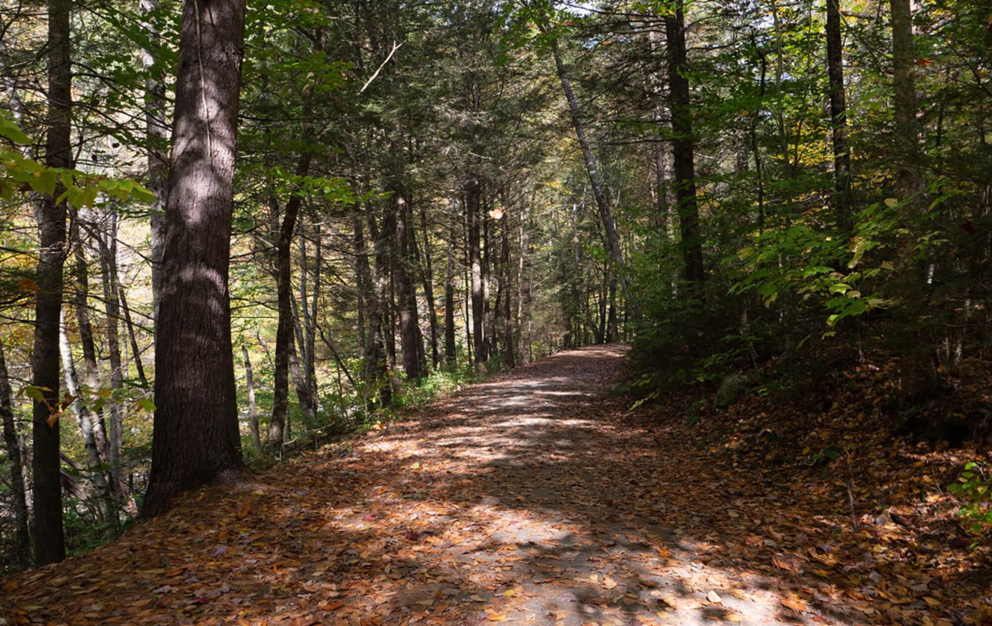
A picnic shelter for campers and a small nature center are located near the picnic area and swimming hole. A hiking trail follows the West River and branches off toward Hamilton Falls.
Notable Trails
The TrailFinder website has a description and map of a hike at Jamaica State Park.
Features
Restrooms on site
Entrance fee
Wheelchair accessible trail
Content from Official Website
Last updated October 6, 2023